Parkersburg, West Virginia v1.0
The Parkersburg Project
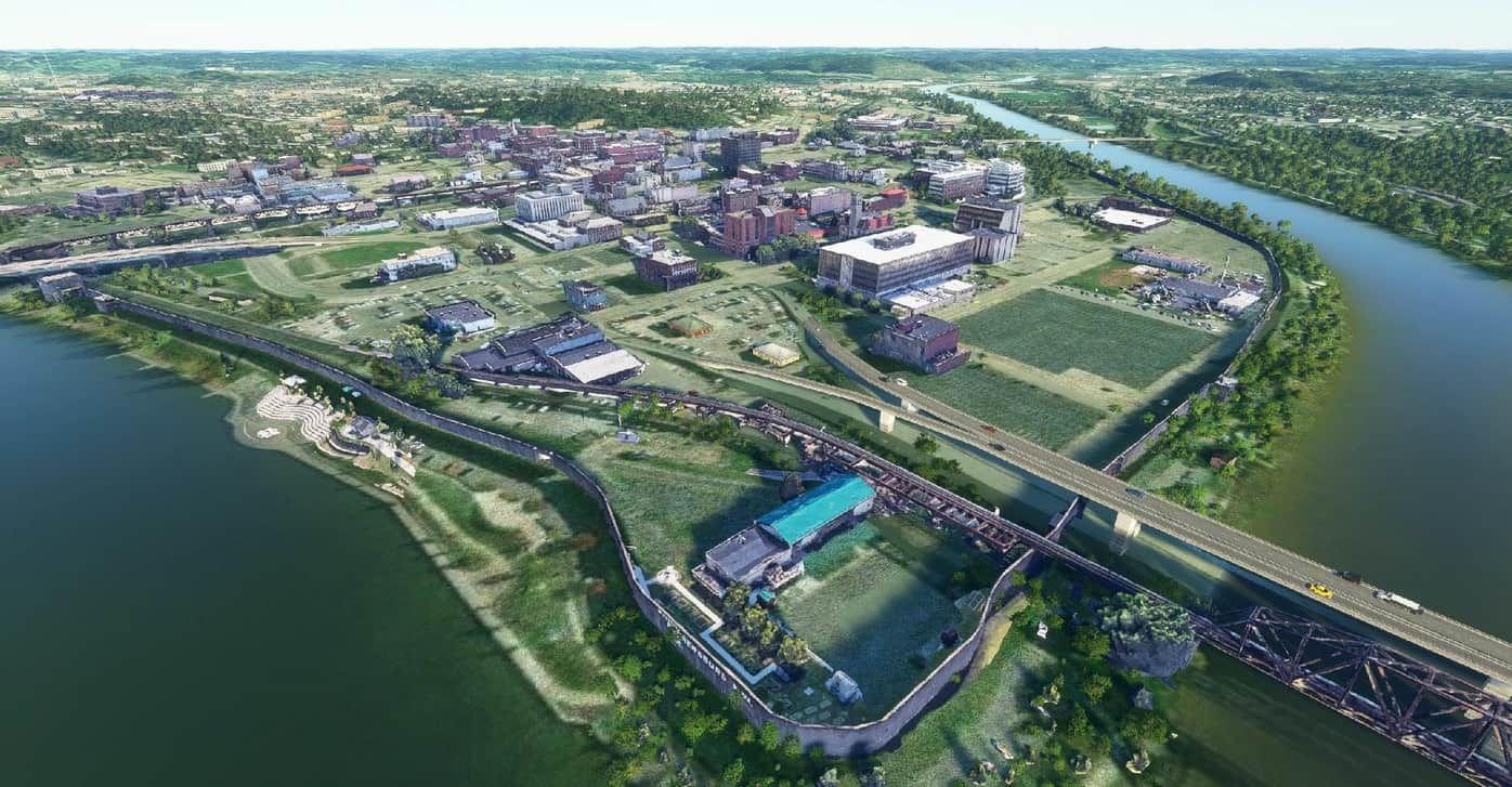
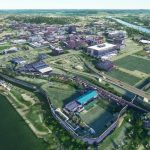
Downtown Parkersburg, WV
All of 1st to 8th Streets, Flood Wall, Roailroad Bridges, 5th Street Bridge, some of Market Street, a few houses in the Historical District and Parkersburg High School
Reuploaded after server failure
Google Maps> Render Doc> Blender> MSFS, repeat 50+ times
Setteled in the late 1700s as Newport, Virginia granted Alexander Parker the land for his service in the Revolutionary War and the area was officially named Parkersburg in 1810 after title conflicts were resolved the previous year. Parkersburg was known a the Most Wicked City on the Ohio during the Civil War when it served as a transportation and medical hub for Union Soldiers. After the war B&O Railroad bridge was completed in 1870 as part of the main line from Baltimore to St Louis. Today Parkersburg is West Virgnia’s 4th largest city and is anchored by the Bureau of Fiscal Services and the Social Security Administration.
Installed by pasting folder into Community folder
GPS Coordinates: 39.26476798565614, -81.56298275056959

