Plan incliné de Ronquières v1.0
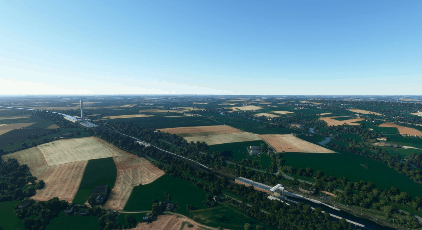
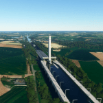
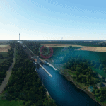
Inaugurated in 1968, the “plan incliné de Ronquières” is a boat lift that allows a ferry that can contain several boats to slide in order to take them over a significant drop in height. It’s located on the route of the Brussels-Charleroi canal.
Scenery Content :
– Elevation data changes
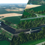
– Several handcrafted 3D models
Features :
– Custom night lightning (lamps, spots, beacon lights)
Installation :
1. Delete the old version of the lift in the “Community” folder
2. Unzip
3. Paste the content in the “Community” folder
4. Enjoy it as much as I enjoyed creating it !
If you like my work, please consider donating so that I can go from virtual to real and pass my pilot’s license
Max H.
GPS Coordinates: 50.59086, 4.22005

