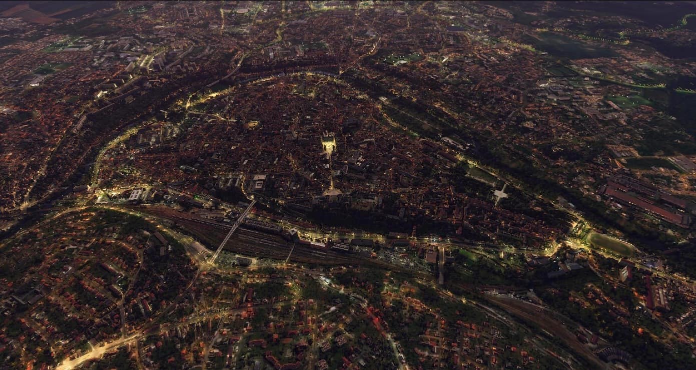
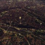
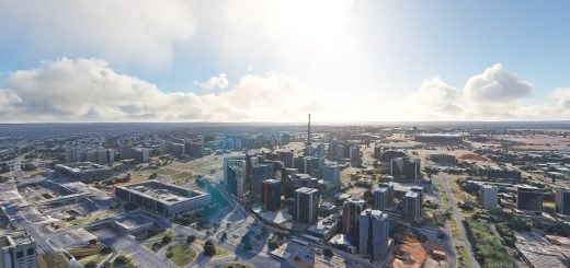
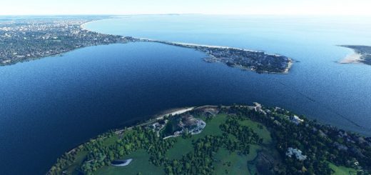
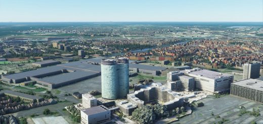
Poitiers city – made with Google Earth Decoder v1.0
Poitiers is a city on the Clain river in west-central France. It is a commune and the capital of the Vienne department and the historical centre of Poitou. Poitiers is a significant university centre. The centre of town is picturesque and its streets include predominantly historical architecture, especially religious architecture and especially from the Romanesque period. Two major battles took place near the city. The first, in 732, also known as the Battle of Tours (to avoid confusion with the second), saw the Franks commanded by Charles Martel defeat an expeditionary army of the Umayyad Caliphate. The second, in 1356, was one of the key battles of the Hundred Years War. It saw the defeat of a large French royal army by the English and the capture of King John II by the victorious Prince of Wales.
This is the first scenery i release using the fantastic GoogleEarth Decoder tool, made by /u/Jonahex111.
GPS: 46° 34′ 48″ N, 0° 20′ 24″ E

