SAINT-ROCH MAYERES LF430 (MONT-BLANC altisurface) v1.0
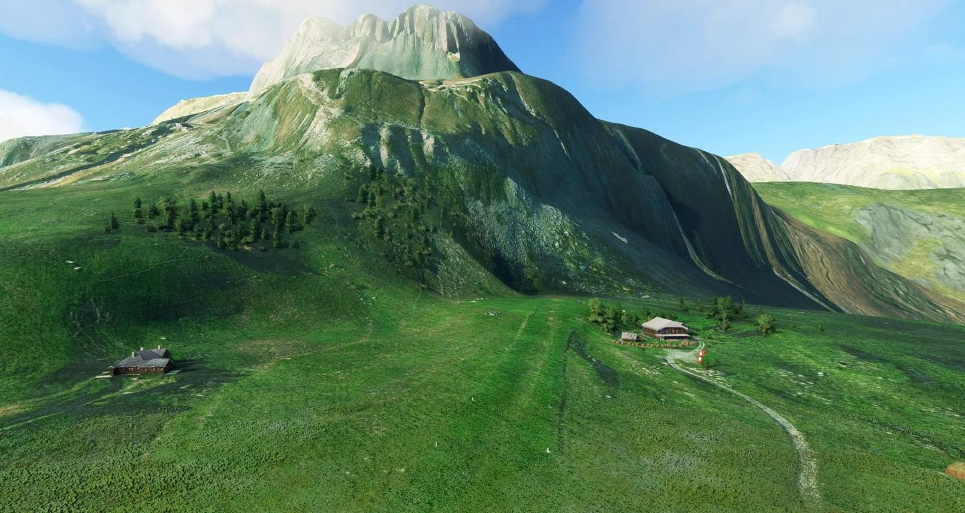
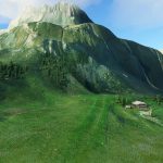
Welcome to the Mont-Blanc area and to the altisurface Saint-Roch Mayeres (LF430) in the french alps.
latitude 45°57’00” N, longitude 006°35’10” E
There are 2 folders(zip files) that you can simply drag and drop to your community folder.
md-aerial-mayeres: The aerial that provides important landing cues in the mountain: 445mb zipped (the main file)
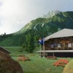
md-airport-mayeres: The airport itself with the refuge modelized in blender (planning to improve it over time): 15mb
I had to do a lot of terraforming to try to recreate the unique aspect of this amazing airport as described and as I experience it when I land in Mayeres. I am open for feedback and willing to improve it !
The high visual recognitation should be done at 6000ft left hand, the low one at 5400ft left hand.
The landing is then done right-hand pattern after the low visual.
After landing, turn left on the parking area and then right to line up for a new try ! (avoid turning directly right, it can be dangerous because of the profile)
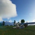
Beware of the cows that are very often around !
Bon vols !
This is my first creation and I am still learning so it can only improve
If you find it already great, thanks for donating
I am also completing WA09 (Roche-Harbor) which is another important airport in my heart.
Next to come will be my home airport LFHM (Megeve) !
GPS Coordinates: 45.94895773537888, 6.587497345723118

