Santa Barbara Oil Rig placements v0.1.1
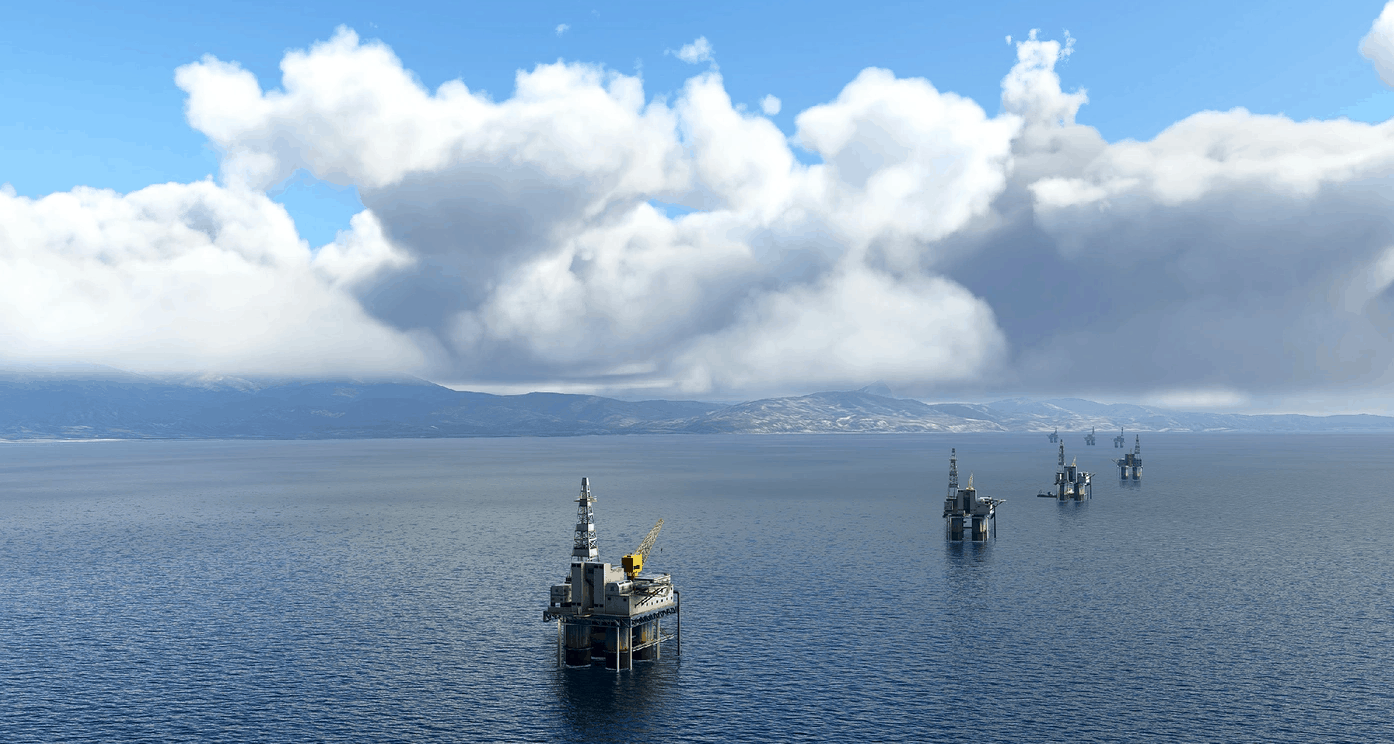
Santa Barbara Rigs – Offshore Oil Platform Placement for Microsoft Flight Simulator This scenery adds all 27 oil platform placements off the Santa Barbara coast, from San Pedro to Vandenberg AFB. This is an early version and will be a work in progress. The primary intent was to add rigs offshore for enhancing helicopter flying in multiplayer and to add something more to do in this scenic area of the world. Even if you’re flying an aircraft up the coast, it’s nice to see the rigs out in the water, especially if you’ve flown in the Southern California area in reality.
Although the placement and orientation of the rigs is accurate, the scenery is currently using the default oil rig which is not representative of the platforms in the channel. Eventually, the default rigs will be replaced with more accurate models of the channel rigs.
Includes appx location map
Includes basic documentation
Installation
Extract bhd-sbarigs.zip using WinZip, 7-Zip or WinRar.
Place the entire bhd-sbarigs folder into the Microsoft Flight Simulator Community Folder.
Select Santa Barbara as your start point (KSBA), Platform Holly is right off the coast near the airport. Use the included map and navigation info to explore the area..
Known Issues v0.1.1
Oil rig 3D model is not accurate to actual Santa Barbara platforms.No collision on rig helipads.
Might experience -2/3 FPS spikes, but in general – not much performance impact.
Update v0.1.1
Added POI markers for 5 oil platforms ( 1 for each general area )
Updated Documentation / ICAO coordinates
GPS Coordinates: 34.330542, -119.583043

