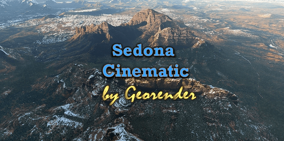
Sedona Cinematic v1.0
Sedona, Arizona, USA
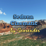
A Large area incorporating most of Sedona Arizona. Created for MSFS2020 By Richard ‘Georender’ Goldstein January 2021
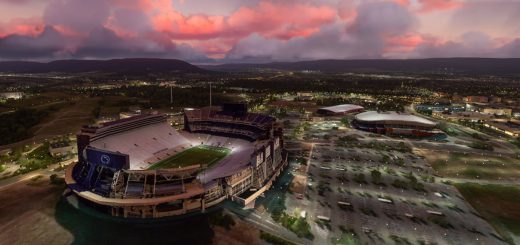
I highly recommend at least one flight with the time set to August at around 8:20 in the evening with few clouds!!!
Introduction
Thank you for downloading this scenery.
It is not the final version, but I will wait until we have a suitable DEM SDK in order to create a definitive ground blending capability and refine the scenery complexity/region sizes etc.
There are quite a few visual glitches, off colour textures, missing sections, holes etc. Not including those areas didn’t seem like an option so they are included warts ‘n all. There’s a large missing texture in one area, just avert your eyes. there is plenty else to look at. Hopefully fixed in next version.
At present it is not possible to land on the detailed scenery areas. They are not solid in this respect. Hopefully that can change in the future.
The scenery is very efficiently created, but loading times will be slightly longer than usual. Especially if you are not using an SSD drive for scenery.
I highly recommend that you add one or two centimeters of snow for terrain blending purposes. Furthermore, the blue tint of sky reflected off of the snow adds a colour which is complimentary to the orange rocks and this enhances the depth and realism of the terrain relief.
Try different times of day and various weather conditions. Each has its own charm.
INSTALLATION:
Unzip. Then place all seven folder that are prefixed with ‘Geo_’ into your Community folder. Thats all there is to it. In your Community folder you will have seven new folders with the prefix Geo_Sedona….. followed by a number.
How to find the scenery region
Go to Sedona airport ICAO KSEZ.
CREDITS
Thanks go to Jonahex111 for his brilliant ‘Google Earth Decoder’ tool.
All terrain data owned by Google. This scenery cannot be sold or used in a commercial product. I do not own any part of it.

