Snettisham, Alaska v1.0
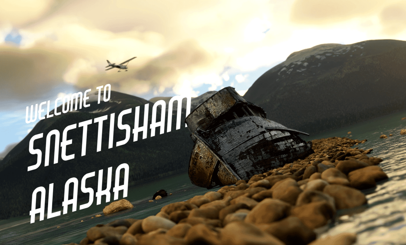
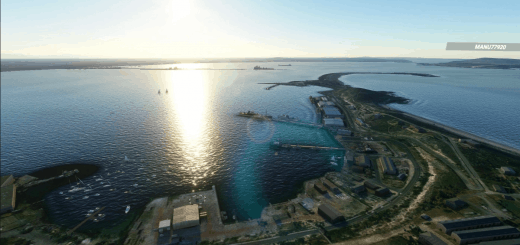
Snettisham Alaska is located only a few miles southeast of Junea, and a short hop from my previous scenery, Excursion Inlet. The dirt runway sticks out into the water, and the approach can be dangerous in low visability as the airport sits at the end of a long glacial bay with a zig-zagging inlet bordered pertruding high cliffs and mountainsides.
Airport code is 7AK2
Features
Imported new high quality ground objects (Objects are in seperate scenery folders, so you can choose which ones you want to delete to save space. For highest quality, keep them all.)
Detailed rock jetty added under approach for RWY 33, previously underwater
Added a start position on the apron, previously none
Added seaplane dock, runway, and base like real Snettisham
Added Snettisham Hydroelectric Dam up the valley
Fixed lower hydroelectric plant with new buildings, objects and terrain fixes.
All buildings replaced in area
Replaced all of the default plant type (bushes) to a more accurate conifer pines all around the area. Trees now cover the area nearby with no imagery that is just green.
Reworked lakes, shores and rivers. No more clunky bare shore edges along the approach.
And more!
Required Libraries:
Mikea’s AssetPack
Dave’s Crooked Library
Known bugs: Water runway designated as both water/aspalt in airport selection screen. I assure you it’s not asphalt!
GPS Coordinates: 58.13595123721204, -133.72933458910188

