St. Gallen (St. Gall) Switzerland v1.0
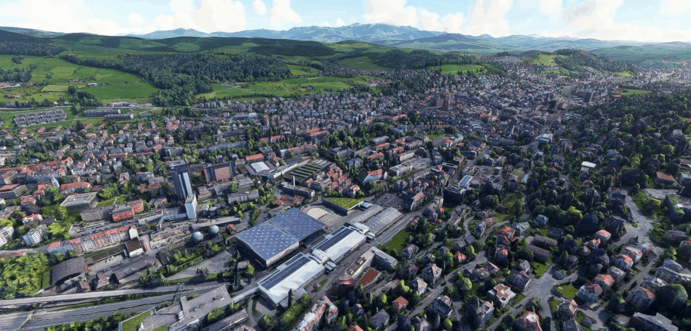
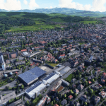
St. Gall (Sankt Gallen) is an old City in the north-east of Switzerland and capital of canton St. Gallen. Cause of its elevation of 669 m (2,195 ft) and the near to the mountains it is often very snowy in winter. It is placed between hills and not far from Lake Constance and Mt. Sänts (nice for paragliding – check for Scenery soon). The Border to Austria, Germany and Fürstentum Lichtenstein are very close. Nice for a Sight Seeing Flight are the Old Town with its Cathedral (Unesco world Heritage), the Football Stadium and 18 Bridges in the east. The next Airport is LSZR Flughafen St.Gallen-Altenrhein and there is a small Grass Field LSZV Sitterdorf. Enjoy!
File:
Ths is my first work, so please be kind. I had to split the map in three pieces cause of its long shape of the City. The borders do not always work very fine, I tried to do my best. The Google Maps Data are maden in Summer and Winter, thats why trees and fields look brown in some areas. For the moment there are no Street Llights at night and the color is a little to bright. I’ll try to fix that soon.
Credits:
This scenery has been extracted from Google Maps, hence all 3D credits goes to Google.
This scenery has been generated with the Google Earth Decoder tool (credits to /u/Jonahex111)
Installation:
Extract Scenery_Sankt_Gallen and move the three files (Scenery_Sankt_Gallen_Ost, _West and _Zentrum) folder into the Community folder.
GPS Coordinates: 47.42449894769985, 9.376684289828653

