UK River Elevation Fixes v1.1.1
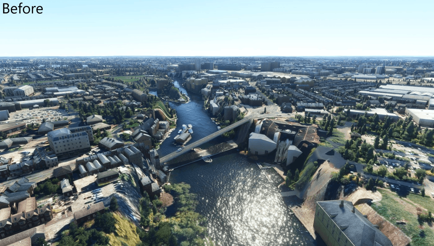
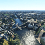
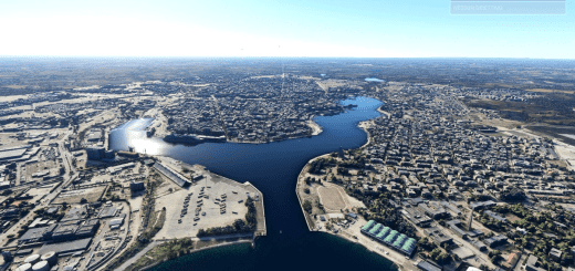
This package fixes elevation issues with rivers across the UK, causing them to be in huge ravines due to elevation data issues. These issues were caused by the UK world update, and therefore the package is only equired if you are using this update.
Rivers Fixed:
River Thames between Goring and Wargrave
River Kennet around Hungerford
If you find other rivers in the UK with similar issues, let me know and I’ll take a look!
GPS Coordinates: 51.459441, -0.949285




Can you look at the River Avon, starting at 51.412837, -2.114289 and continuing to 51.469419, -2.089277 as I have tried to sail up with the New York Tugboat and it is fine until you get to here!
Many Thanks.