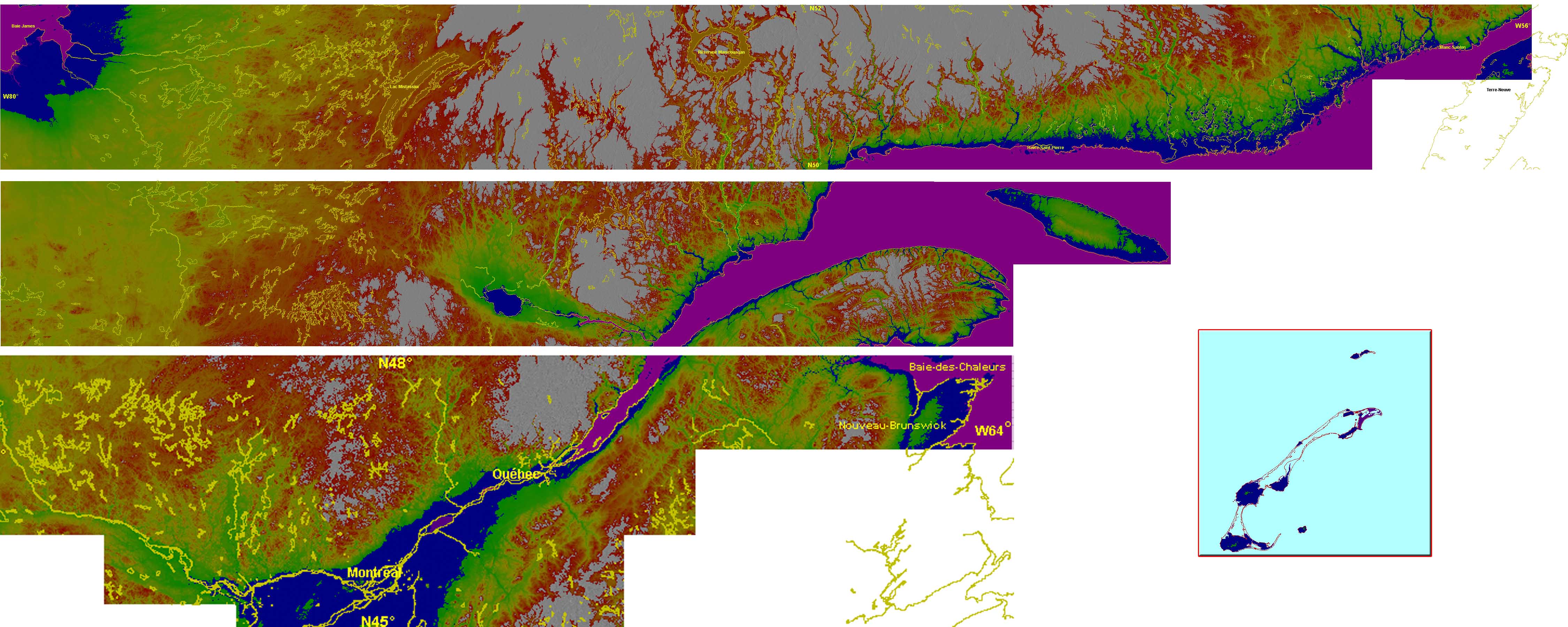
FSX 38m (Lod10) Terrain Mesh files of the province of Quebec 5
FSX 38m (Lod10) Terrain Mesh files of the province of Quebec (N45°-N52°, W56°-W80°). The 23 m (or 76m) Canadian Digital Elevation Data for Quebec. http://www.geobase.ca The 90-m digital elevation model (Shuttle Radar Topography Mission – SRTM-3) ftp://edcsgs9.cr.usgs.gov/ pub/data/srtm/North_America/3arcsec/. By Gilles Gauthier. Part 1 46MB Part 2 45MB Part 3 40MB Part 4 44MB Part 5 40MB FSX Quebec Roads. Addition of Roads for the province of Quebec, Canada. For best scenery, use with lakes, shorelines and rivers of the province of Quebec, Canada. Gilles Gauthier. 7.8MB


