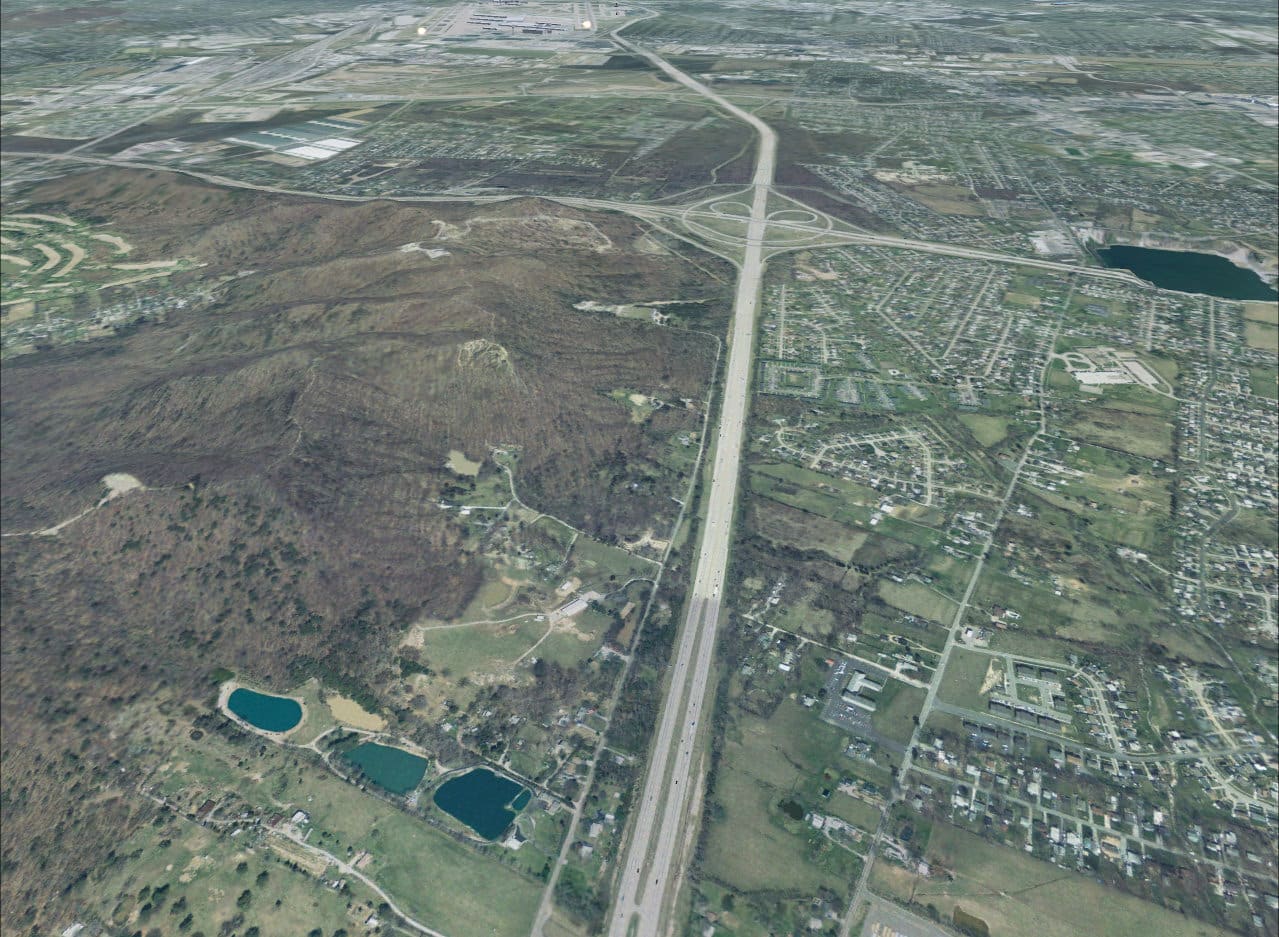
FSX Louisville PhotoReal Scenery Scetion W
FSX Louisville PhotoReal Scenery Scetion W. This is high resolution, 1Meter/Pixel, terrain scenery for Louisville, Ky. This section, W, features Louisville International Airport and Jefferson Mall. This photoscenery is for DAY USE ONLY and will work for any season, but shows only the USGS aerial photo data taken in April 2002. The default FSX mesh works well with this photoscenery and no additional mesh for the area needs to be purchased. Initially 9 sections will be released surrounding section R and will occupy 845 Mb. Additional sections may be released based on section download counts adjacent to the intial 9 sections. By Jim Jones. 98MB


