Grand Teton Park for FSX Part 4 – South and West Areas
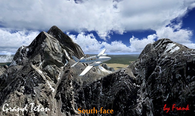
Grand Teton Park for FSX Part 4 – South and West Areas. High resolution Scenery Package. Grand Teton is the highest mountain within Grand Teton National Park, and at 13,770 feet (4197 m), the second highest in the U.S. state of Wyoming. The origin of the name is controversial. The most common explanation is that “Grand Teton” means “large teat” in French, named by either French-Canadian or Iroquois members of an expedition led by Donald McKenzie of the North West Company.[2]However, other historians disagree, and claim that the mountain was named after the Teton Sioux tribe of Native Americans.By Frank Dainese


