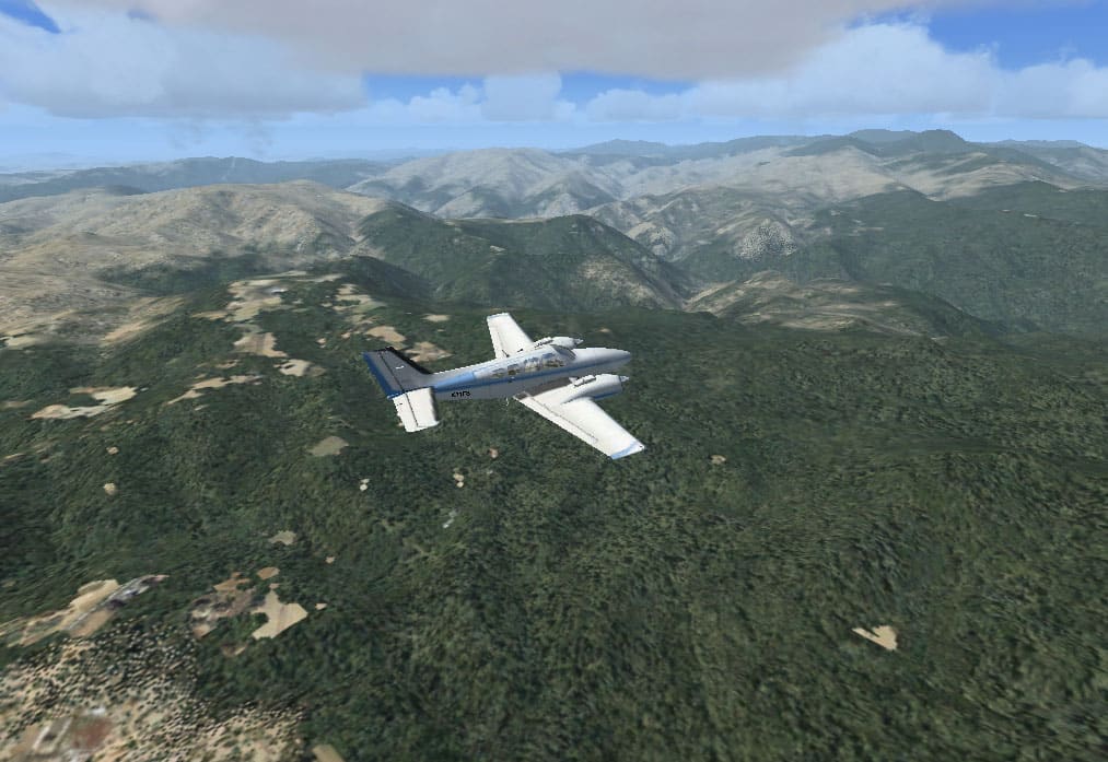
Sardinia, Italy, 10 m Mesh V2
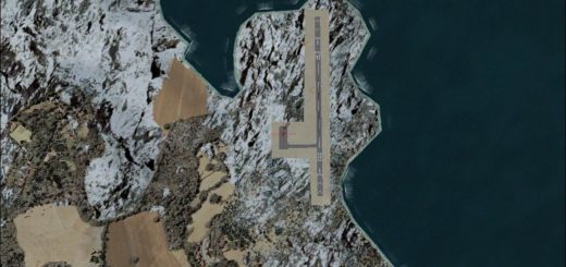
FSX – Sardinia, Italy, 10 m Mesh Build with the latest generation of terrain models from Sardegna’s Region gis team ! 10 m at source – Lod 12 – this mesh scenery file cover the whole of Sardinia region in Italy. Sardinia (Italian: Sardegna) is the second-largest island in the Mediterranean Sea (after Sicily and before Cyprus). It is an autonomous region of Italy, and the nearest land masses are (clockwise from north) the French island of Corsica, the Italian Peninsula, Sicily, Tunisia and the Spanish Balearic Islands. By: Raimondo Taburet. This is Version 2 which fix some sea waters elevations. by: Raimondo Taburet

